Emigrant Wilderness 2019
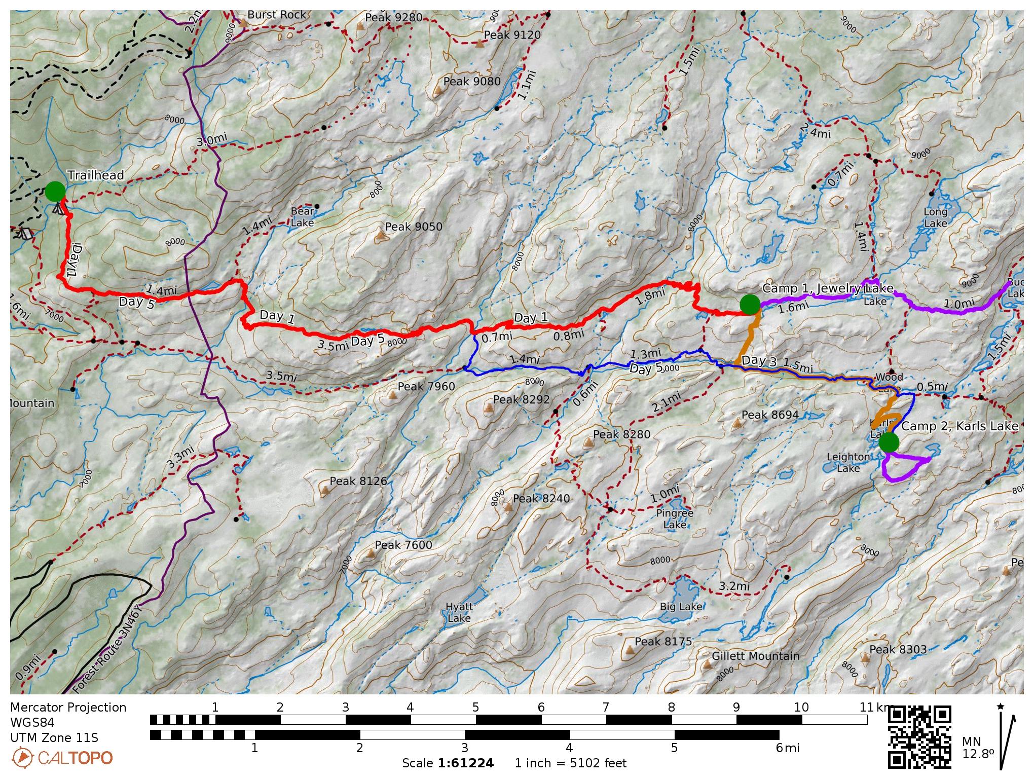
Trailmap: Route through the Emigrant Wilderness, starting from Crabtree Trailhead, going to Jewelry Lake for our first camp, Karls Lake for our second camp, and back out to Crabtree.
Day 1
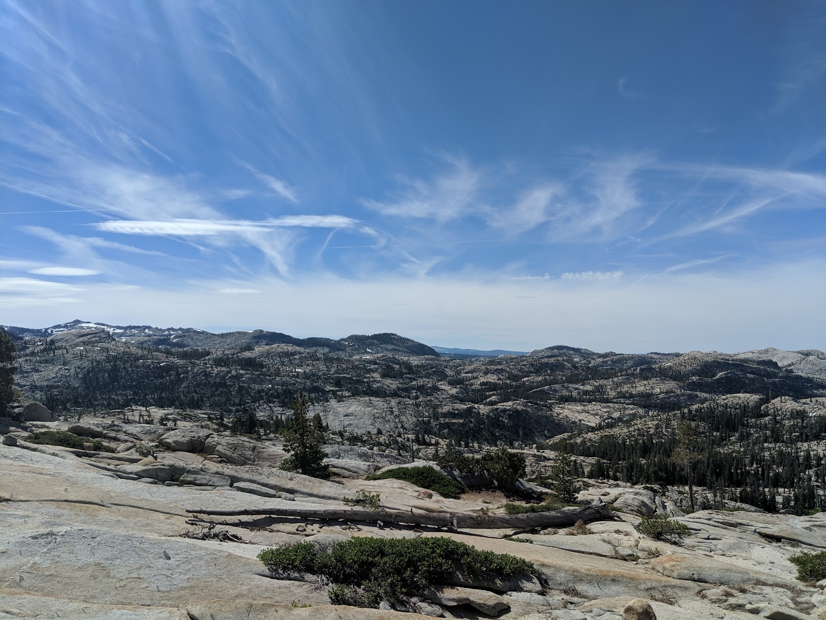
Day 1 (red line on the map) was a point-to-point day starting from Crabtree trailhead and ending at Jewelry Lake. Total distance, just about 10 miles with an elevation gain from 7,150 to 8,450 feet. While that elevation gain isn't a lot, it doesn't convey how much up and down there is on this hike. Most of it follows along these ridge banks, dropping in and climbing out of side valleys. We decided to take the high trail between the two parallel trails that go up there.
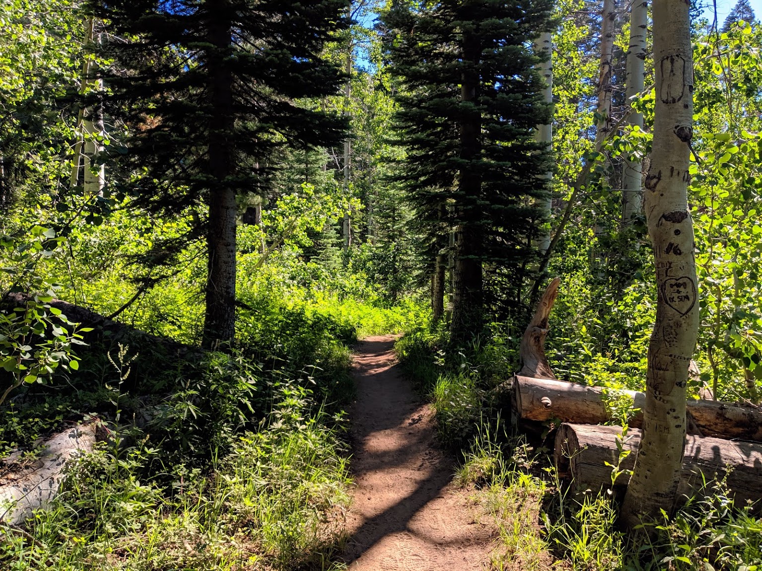
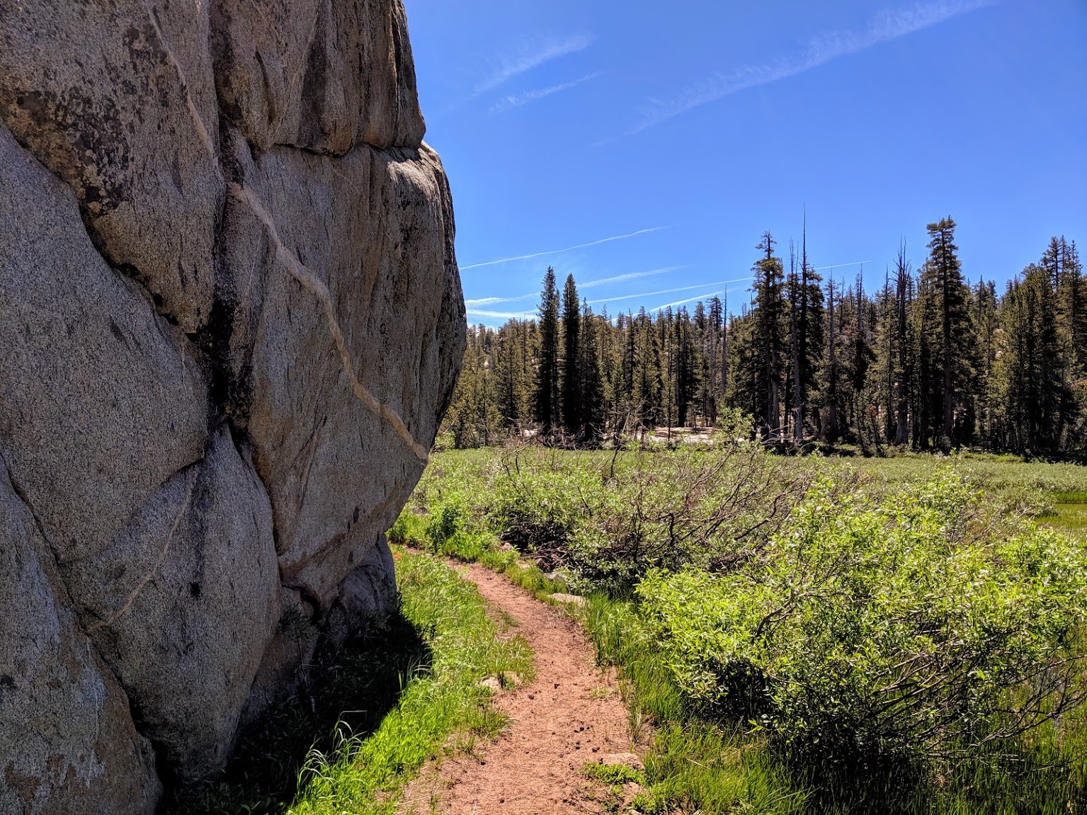
This is always my favorite kind of trail, where it passes through green areas.
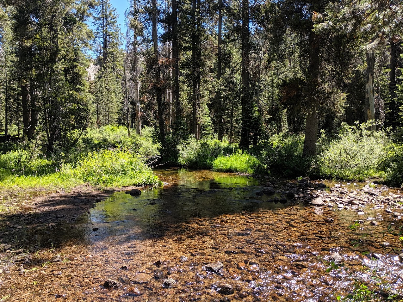
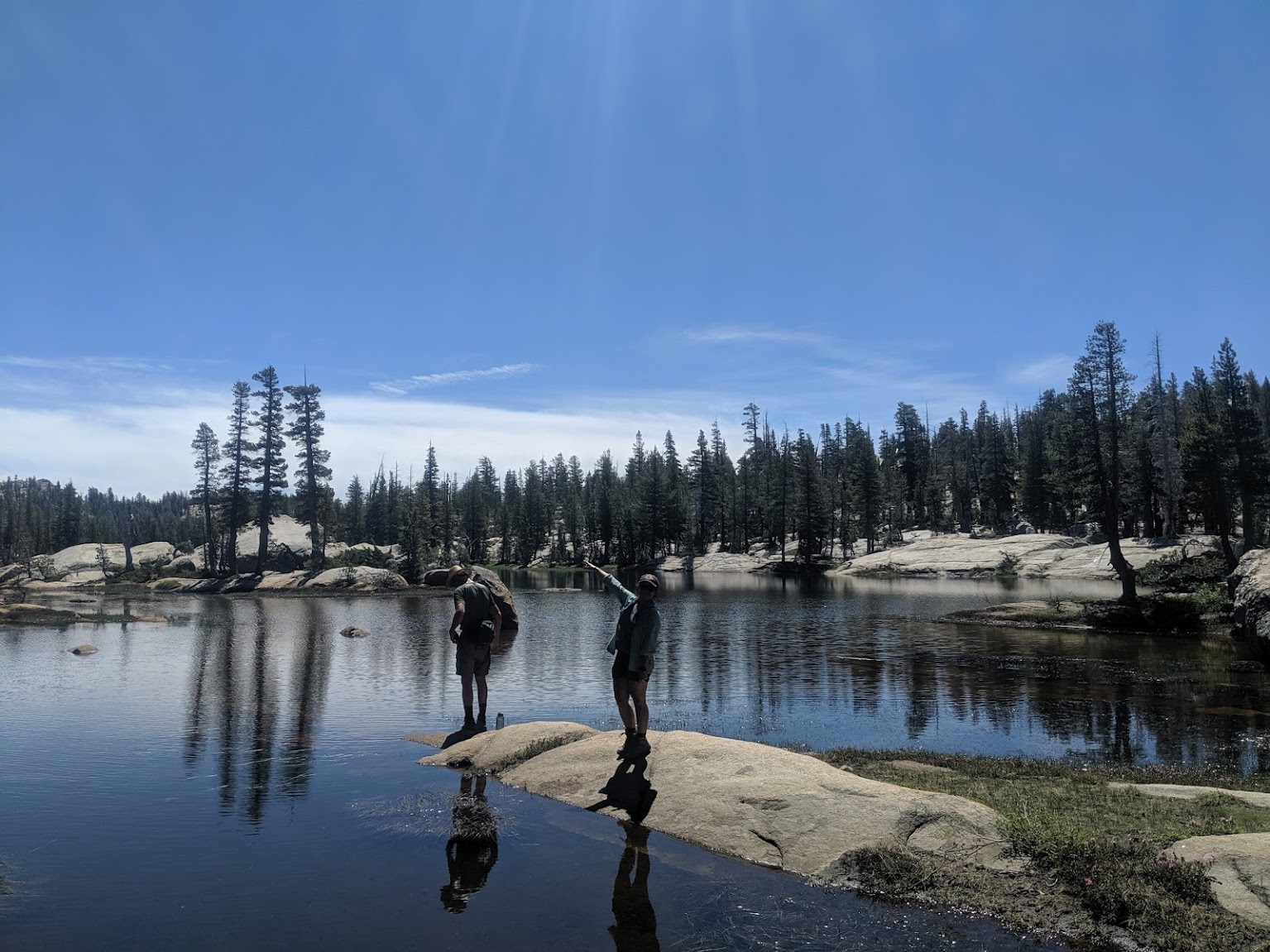
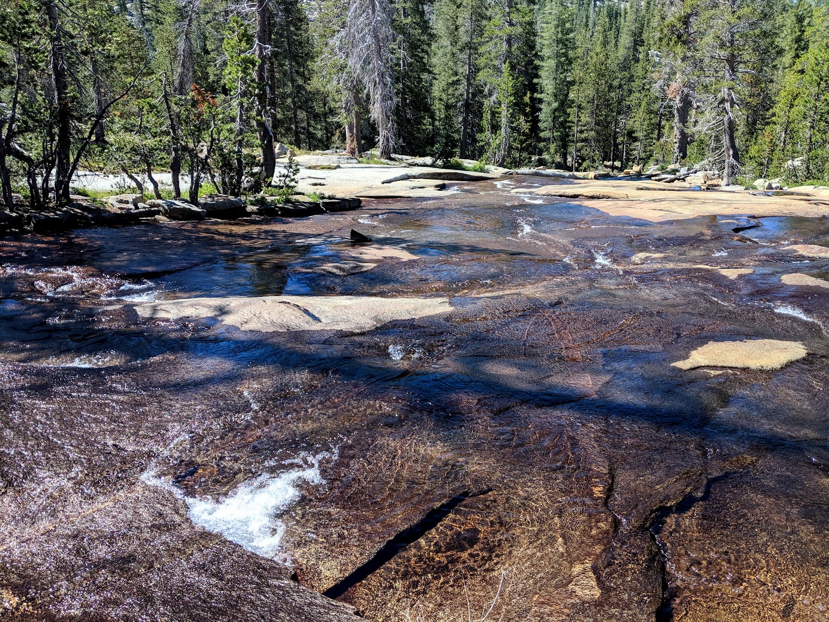
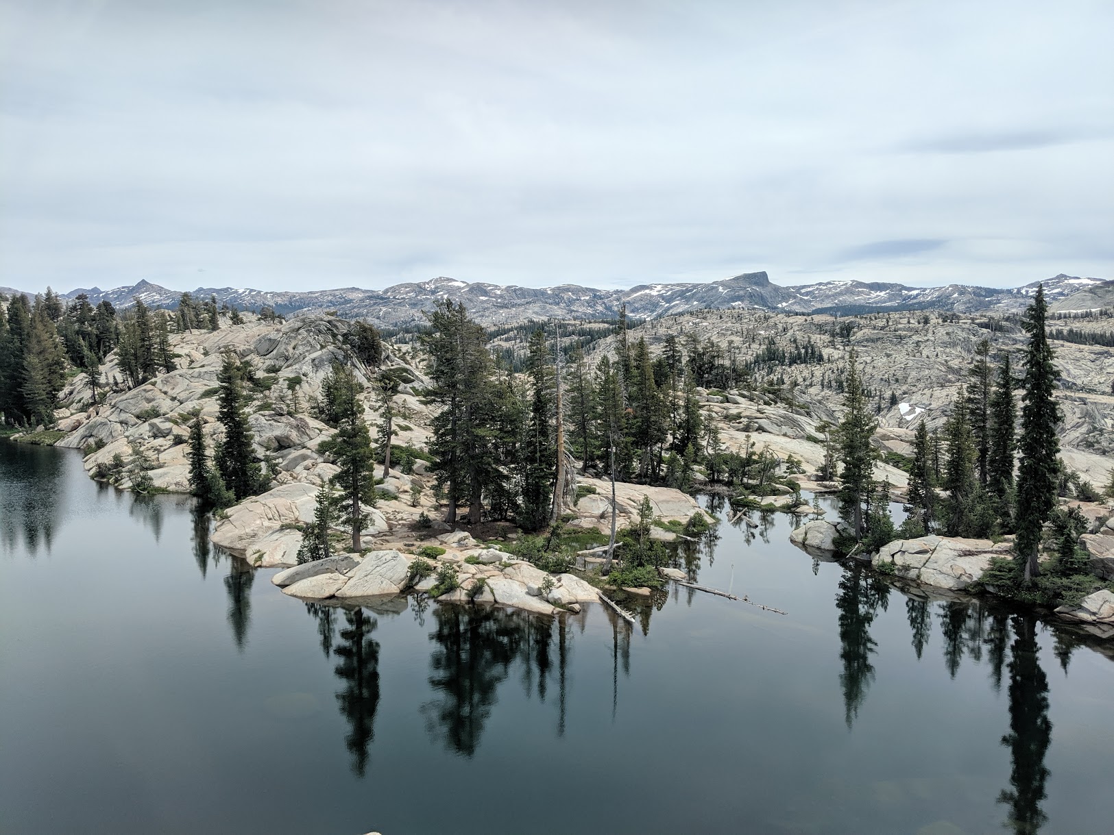
When we planned this trip, I was concerned we'd only see water in lakes. There was a drought going on, after all. But we were pleasently surprised by how much water was actually around. Day 3 was particularly spectacular with respect to water.
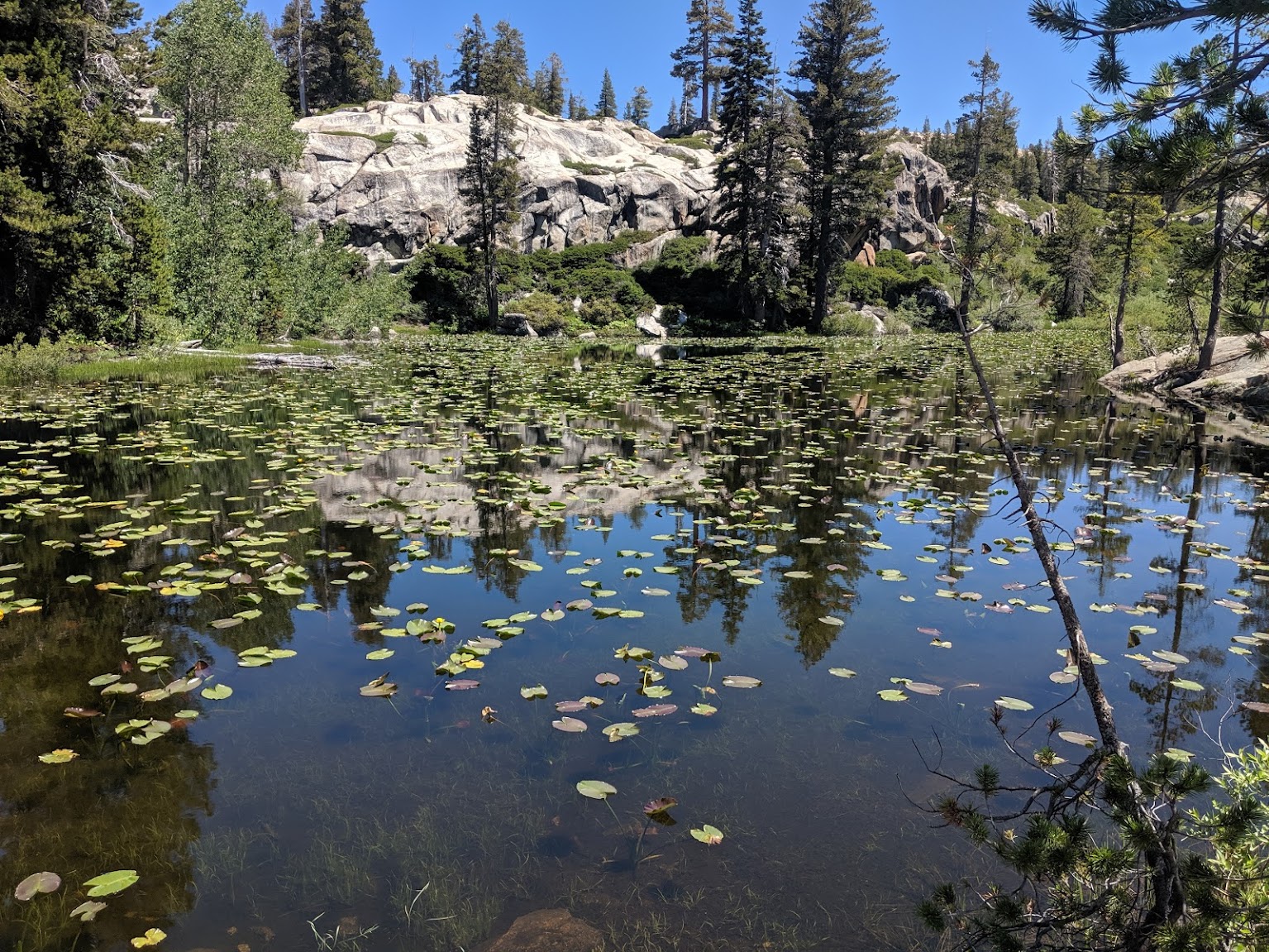
Lily Pad Lake lived up to its name. There were places to camp around here, but nothing great. Push on if you can.
After quite a bit of up and down hiking, we got to Jewelry Lake. Lots of camping and great views here.
Day 2
We spent the second day making a day hike up to Buck Lake past Deer Lake. Just a few miles each way with pretty mild elevation changes. The highlights of this hike were the meadows we got to walk through.
Refilling water and wetting bandanas.
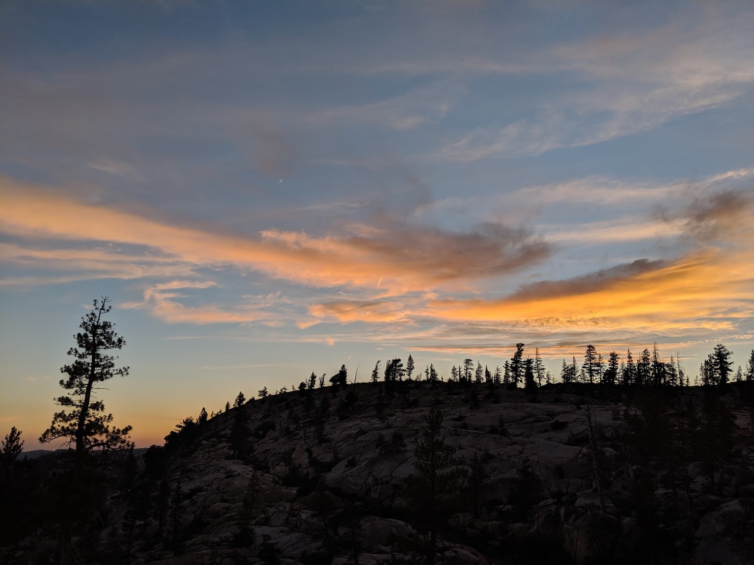
Unparalleled sunset back at camp.
Day 3
We left camp the next morning and decided to do a cross-country trek down to the lower trail by following the outlet of the lake. The way down was relatively easy as it wasn't that steep, though it did feature some tricky stream crossings. But it was so worth it. Orange line on the map, 4 miles in total.
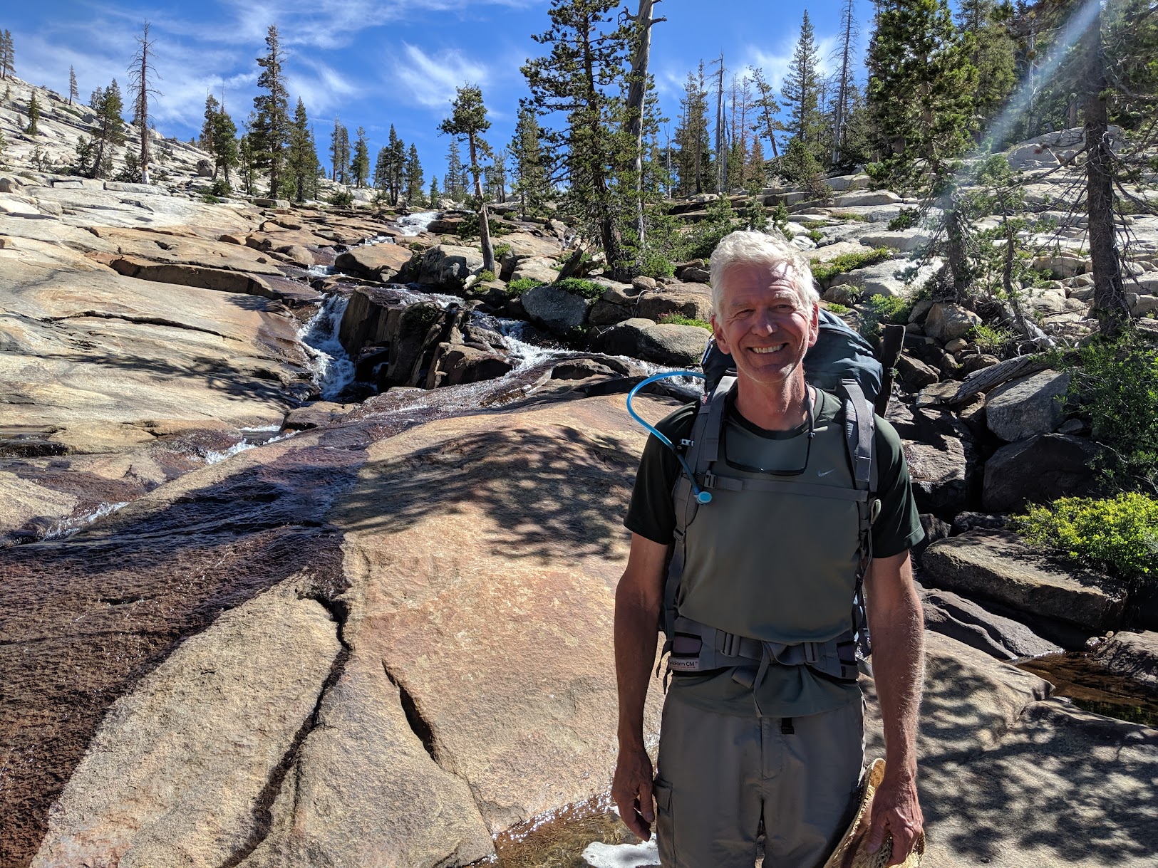
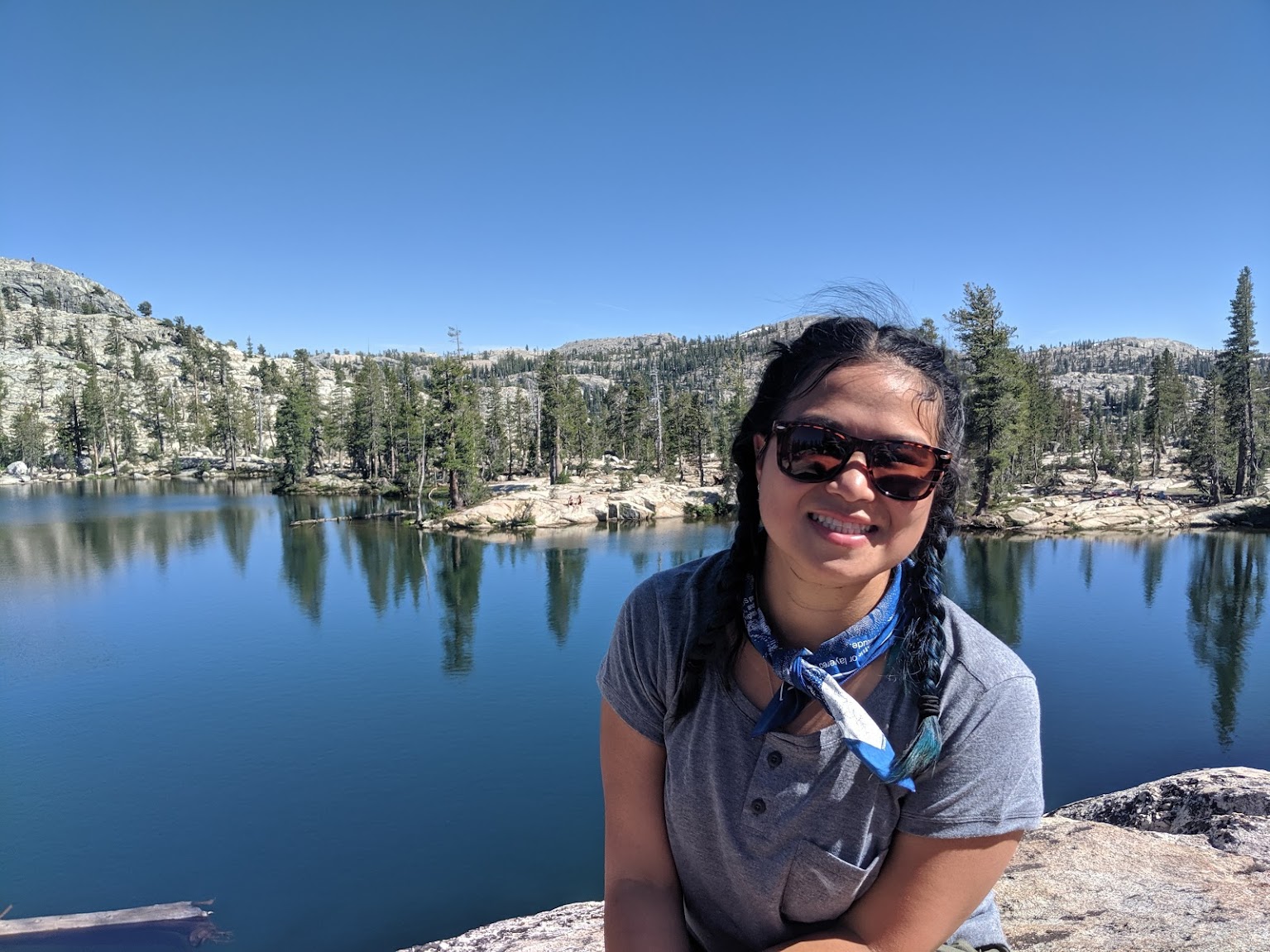
My dad, who is responsible for my love of the outdoors.
The water would just stream off these rock slabs, spreading out into little pools.
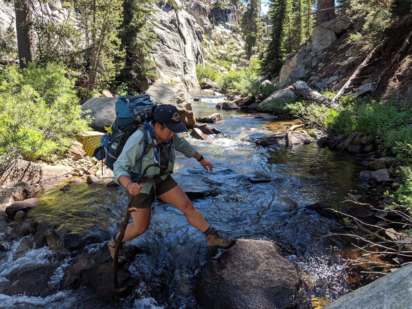
At the bottom we had to cross a stream. It was pretty tricky to find a good crossing point. I would only recommend this route if you're comfortable with this kind of thing.
Once we were down on the lower trail, we hiked up to Karls Lake. There was an indicated trail on the map that we did not find, but we followed the drainage where it was marked. This gave us a view of the lake, but based on our vantage point, we decided we'd get luckier with camping if we went to the other side of it. We found a great camping spot on a small ridge right next to the lake.
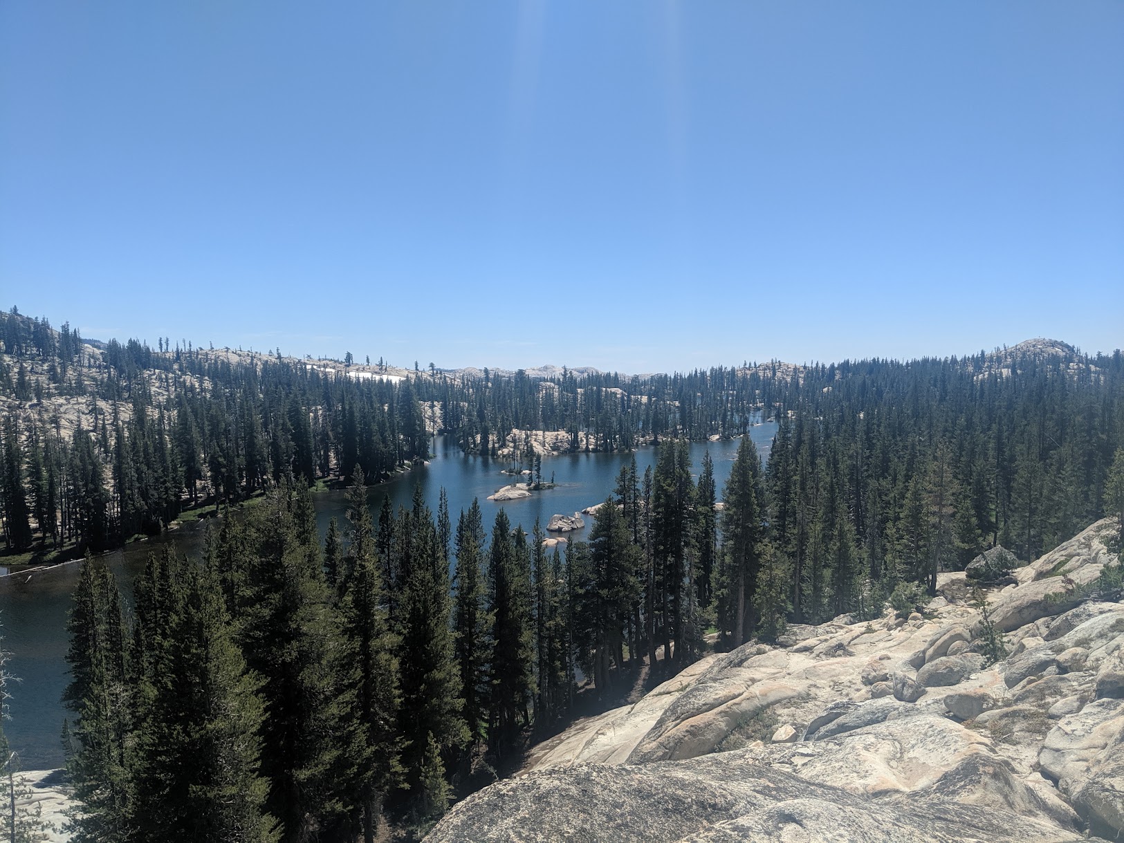
Karls Lake.
Day 4
Another day hike day, the second purple line on the map.
View from a ridge.
Red Can Lake.
Day 5
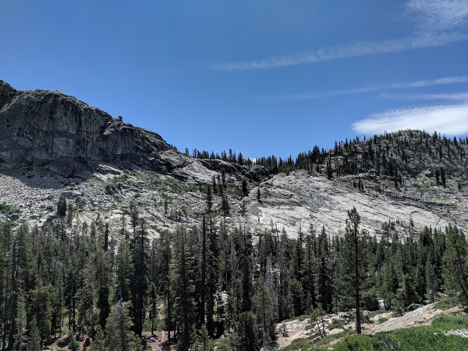
Hike-out day, blue line on the map. This was the longest day, at 12.5 miles. We followed a trail up from the lower trail to the higher one that passed through a burned valley with lots of dead trees. The trail was difficult to follow at times through there.
This is a great trip, not too hard. I wouldn't necessarily recommend it for a beginner, particularly the longer days and the cross-country we did. The advantage of this area is that (when we went) it was pretty easy to get a permit and bear cans weren't required (the tree method worked fine). The long days can be shortened, however, as there is camping at some of the lakes along the way, which would make this trip more accessible for a beginner.